
Polaris Forge 1
Project of Applied Digital
Where it stands
Polaris Forge 1 in Ellendale reached 250 MW of operational critical IT load across two buildings and 10 data halls when the second 75 MW phase of Building 2 became ready for service on October 1, 2026. A third 150 MW building is under construction, funded by $1.59 billion of 7% notes, toward the 400 MW campus leased to CoreWeave. The separate 180 MW Ellendale blockchain hosting facility is a different site and is not counted here.
250 MW in service · 150 MW under construction · 400 MW planned
| Phase | MW | Status | Date | Source |
|---|---|---|---|---|
| Building 1 | 100 | operational | By the end of 2025, the first building was fully operational. It can support more than 40,000 liquid-cooled Nvidia (NVDA) GB300s. 2026-10-11 View cached copy (2026-10-12)Live source ↗Archive.org ↗ | |
| Building 2 - Phase 1 | 75 | ready for service | 2026-07-01 | Phase 1 of Building 2 at Polaris Forge 1, representing 75 MW, became ready for service on July 1, lifting live capacity at the campus to 175 MW. 2026-10-08 View cached copy (2026-10-09)Live source ↗ |
| Building 2 - Phase 2 | 75 | ready for service | 2026-10-01 | the Company achieved Ready for Service for the second 75 MW phase of Building 2 at Polaris Forge 1, bringing fully operational critical IT load at the campus to 250 MW 2026-10-07 View cached copy (2026-10-08)Live source ↗ |
| Building 3 | 150 | under construction | APLD closed $1.59 billion of 7% senior secured notes due 2031 to fund construction of the third 150 MW HPC building at Polaris Forge 1 and repay the $300 million bridge facility. 2026-10-08 View cached copy (2026-10-10)Live source ↗Archive.org ↗ |
Assessed October 18, 2026 from the newest filings, releases and reporting that name this project (newest relied on: October 16, 2026).
Capacity
What has actually been delivered, against what has been promised. Each figure links to the statement it came from.
| Stage | Capacity | As of | Source |
|---|---|---|---|
| Energized power flowing today | 250 MW IT load | 2026-10-16 | Polaris Forge 1 adds 75 MW, reaching 250 MW operational |
| Contracted a customer is on the hook | 400 MW IT load | 2026-10-08 | CoreWeave leases at Polaris Forge 1 |
| Under construction | 400 MW | 2025-10-08 | MAM and project financing expected to fully fund 400MW campus |
| Permitted | -- | ||
| Interconnect approved utility has agreed to deliver | -- | ||
| Interconnect requested in a queue, nothing approved | 1,000 MW | 2025-06-01 | 1+GW power under load study at Ellendale |
| Announced a press-release figure | 1,000 MW | 2026-10-08 | Polaris Forge 1 expansion beyond 1 GW |
Who has claimed this site
Capacity commitments in the order they were announced. A commitment that ended shows why.
Claims about this project
Site intelligence
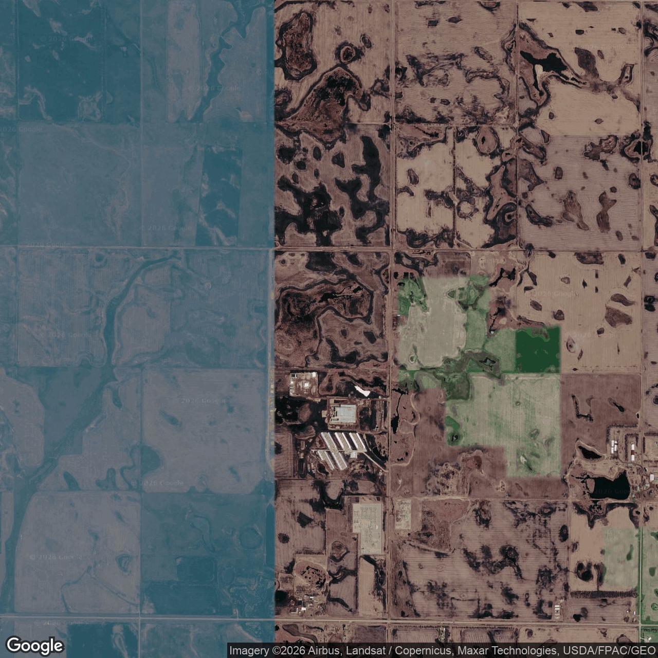
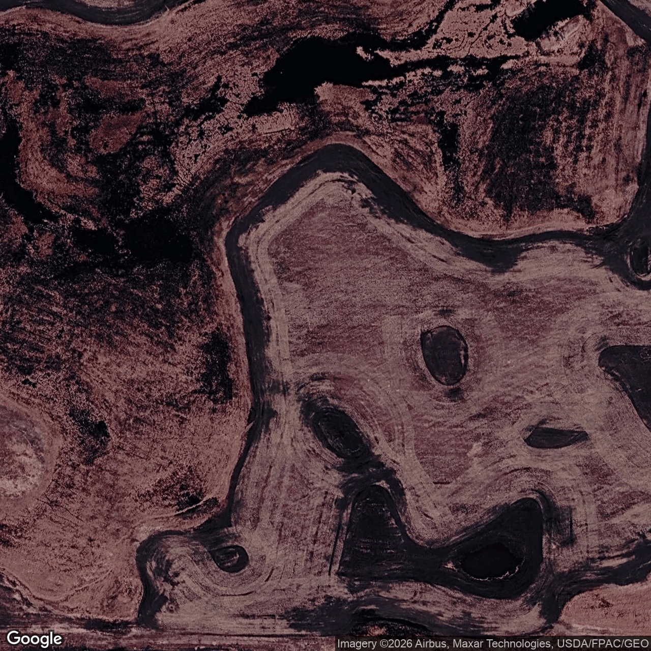

How we located this site
- Starting point (the project's stated locality) 2026-10-19
9685 87th Ave SE, Ellendale, ND → 46.00614, -98.56874 (street) - Located from a published address 2026-10-19
9685 87th Ave SE, Ellendale, ND → 46.00614, -98.56874 (street) - Located from a published address 2026-10-19
Applied Digital / Ellendale Data Center → 46.01339, -98.57331 (footprint), 0.9 km from seed - OpenStreetMap features nearby 2026-10-19
1 named match(es)
- 2026-10-10 vs 2026-09-09: clearing or grading visible — Over the 31-day interval, Landsat surface reflectance shows decreased vegetation (NDVI −0.163) and increased built-up/bare-surface signal (NDBI +0.150), consistent with clearing or grading, with a concurrent NDWI increase (+0.095) that may reflect exposed moist soil or surface water.
- 2026-04-10 vs 2026-03-16: new roof or pavement visible
- 2025-07-12 vs 2025-06-18: vegetation recovery visible
- 2026-01-12 vs 2025-12-03: new roof or pavement visible
- 2025-12-15 vs 2025-11-30: new roof or pavement visible
Satellite imagery on this page is drawn from the Google Earth satellite basemap, USDA NAIP aerial photography (~1 m/pixel), ESA Sentinel-2 multispectral (10 m, with per-date cloud masks), NASA / USGS Landsat 8/9 (30 m, plus surface temperature), ESA Sentinel-1 radar (all-weather, night), NASA ECOSTRESS thermal (~70 m), and NASA Black Marble night lights (500 m, daily). Each image is dated, labelled by source and pixel resolution, and downloadable at its native size; cloudy dates are kept and marked rather than hidden. New scenes are pulled daily as each provider publishes them.