
Hardin
Project of Marathon Digital
Where it stands
Marathon's Hardin, MT bitcoin mining facility was a data center of up to 110 MW next to Beowulf's power station. The facility went offline after storm damage in mid-2022. The data facility, power purchase and ground lease agreements were terminated as of August 15, 2022. Marathon then exited the site in September 2022, redeploying some rigs and selling others. Later filings mention Hardin only in closure-related accounting and an SEC subpoena matter, which the SEC concluded in April 2025 without recommending enforcement; none of them indicate a restart.
110 MW planned
| Phase | MW | Status | Date | Source |
|---|---|---|---|---|
| Hardin data center facility (Beowulf power station site) | 110 | cancelled | 2022-08-15 | the Company, Beowulf and 2P1 agreed to terminate the Data Facility Services Agreement, the Power Purchase Agreement and the Ground Lease for the Facility as of August 15, 2022 2023-03-15 View cached copy (2026-09-13)Live source ↗ |
Assessed November 1, 2026 from the newest filings, releases and reporting that name this project (newest relied on: May 23, 2024).
Capacity
What has actually been delivered, against what has been promised. Each figure links to the statement it came from.
| Stage | Capacity | As of | Source |
|---|---|---|---|
| Energized power flowing today | 105 MW | 2026-09-18 | Montana compute facility capacity |
| Contracted a customer is on the hook | 100 MW | 2022-03-09 | Hardin, Montana data center design for 100-MW capacity |
| Under construction | -- | ||
| Permitted | -- | ||
| Interconnect approved utility has agreed to deliver | -- | ||
| Interconnect requested in a queue, nothing approved | -- | ||
| Announced a press-release figure | 110 MW | 2022-04-04 | Hardin data center capacity |
Claims about this project
Site intelligence
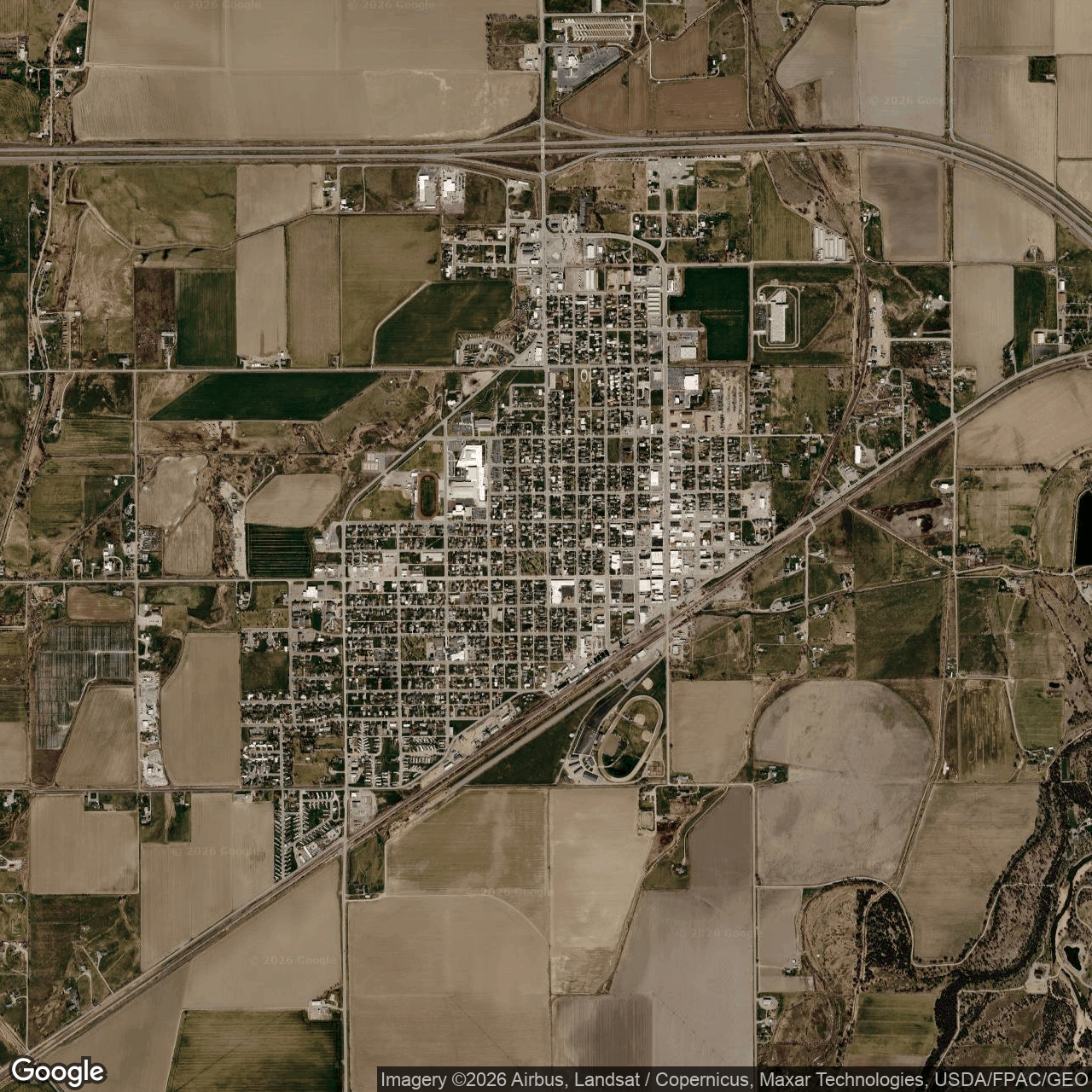
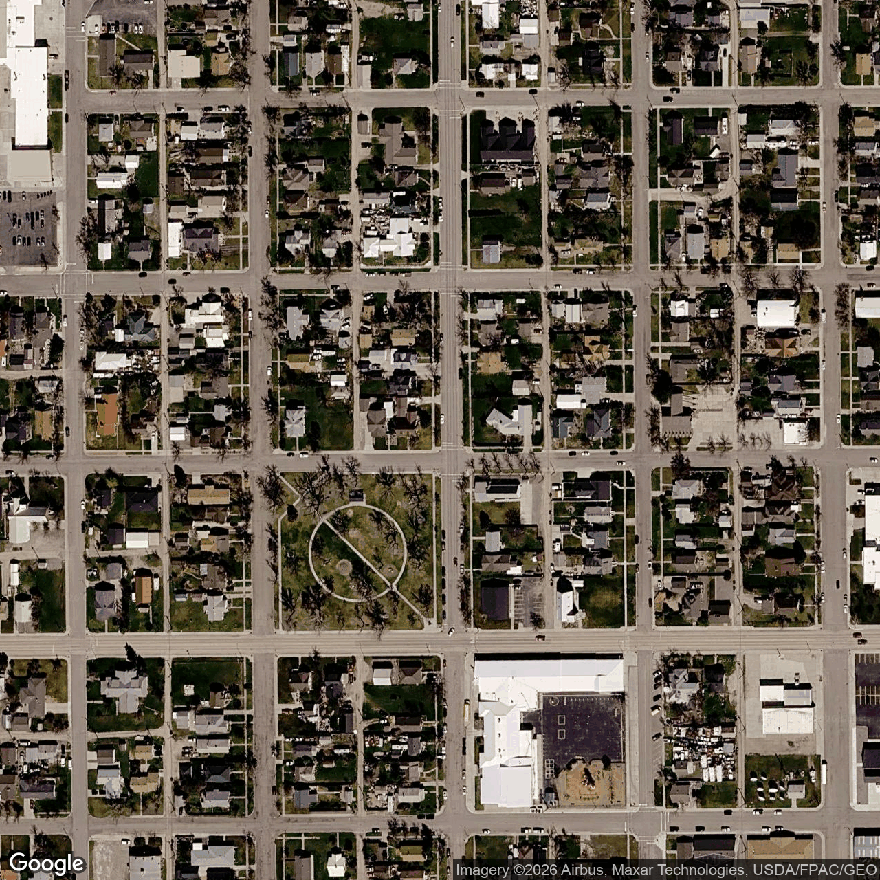
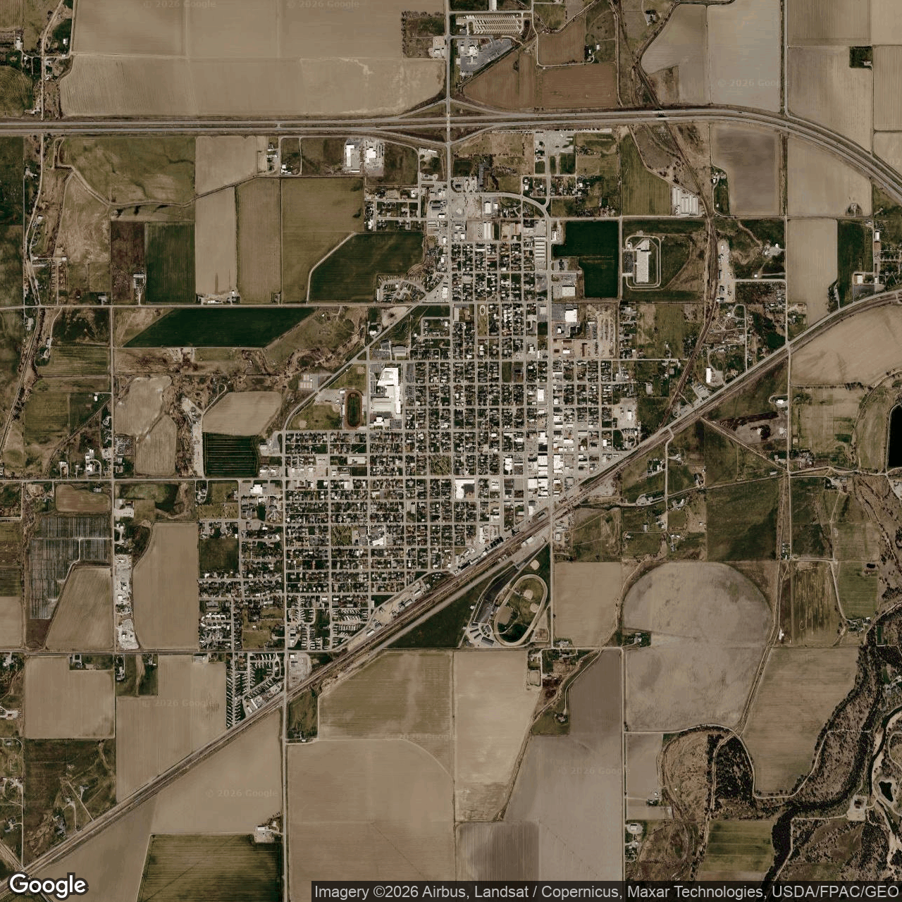
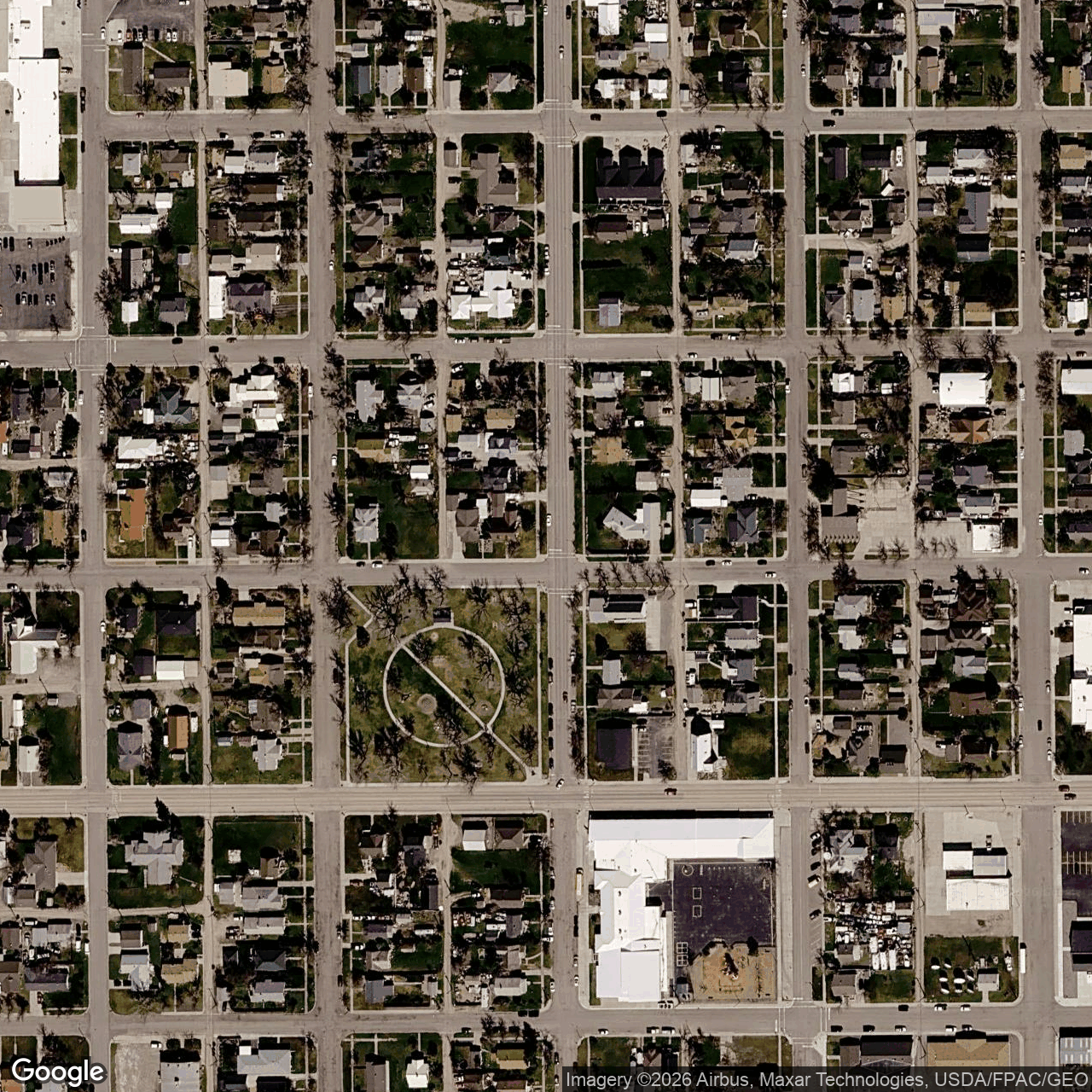
How we located this site
- Starting point (the project's stated locality) 2026-11-01
Hardin, Montana → 45.73248, -107.61203 (locality) - No site-level evidence yet 2026-11-01
no address, road, landmark or coordinates tie this project to a specific parcel yet -- the town is shown, NOT the site - OpenStreetMap features nearby 2026-11-01
0 named match(es)
Satellite imagery on this page is drawn from the Google Earth satellite basemap. Each image is dated, labelled by source and pixel resolution, and downloadable at its native size; cloudy dates are kept and marked rather than hidden. New scenes are pulled daily as each provider publishes them.