jain.com

King Mountain

Project of Hut 8

Kind
mining
Location
near McCamey, TX (King Mountain Wind Farm)
County
Upton
State/region
TX
Country
US
Status
operational as of August 12, 2026

Where it stands

King Mountain is a 50/50 joint venture between Hut 8 and a renewable energy producer. It runs 280 MW of self-mining and hosting operations behind the meter at a wind farm in McCamey, Texas. As of June 30, 2026 it held about 18,000 self-mining miners and hosted about 52,409 miners for a single customer, and an August 2026 article still described it as a large-scale behind-the-meter project.

280 MW in service

PhaseMWStatusDateSource
King Mountain site280operational2026-06-30The King Mountain JV has 280 MW of self-mining and hosting operations located behind-the-meter at a wind farm in McCamey, Texas.
2026-08-03 View cached copy (2026-08-30)Live source ↗

Assessed October 18, 2026 from the newest filings, releases and reporting that name this project (newest relied on: August 12, 2026).

Who has claimed this site

Capacity commitments in the order they were announced. A commitment that ended shows why.

2023-04-17
NextEra Energy - jv partner source

Claims about this project

2023-04-17 - stated
2023-04-17 - stated
2023-06-12 - stated
2023-06-12 - stated
2023-08-23 - stated
2023-11-05 - stated
2023-11-08 - stated

Site intelligence

Analytical estimate. Each site below is located from public records (filings, releases, news, OpenStreetMap) and checked against free satellite imagery; "How we located this site" lists every step and the score it earned. The conclusion is computed from night-time lights, surface heat and year-over-year change, with the dates it rests on. These are hypotheses under active tracking, not legal parcels or an official endorsement.
Upton County, TX
Weak
Upton, TX
31.3720, -102.0386
Approximate address 853V9XC6+RH Reverse-geocoded from the candidate centroid; not a permit-confirmed parcel address.
Conclusion so far We have not located the site yet. · confidence 30%
Undetermined: we have not yet located the actual site, only the town or county it is in, so imagery cannot say whether anything is running.
What would change this: A published address, parcel, coordinates or permit for the site itself.
Latest clear imagery: Google 2026-09-29
Newest clear images4 clear image date(s)
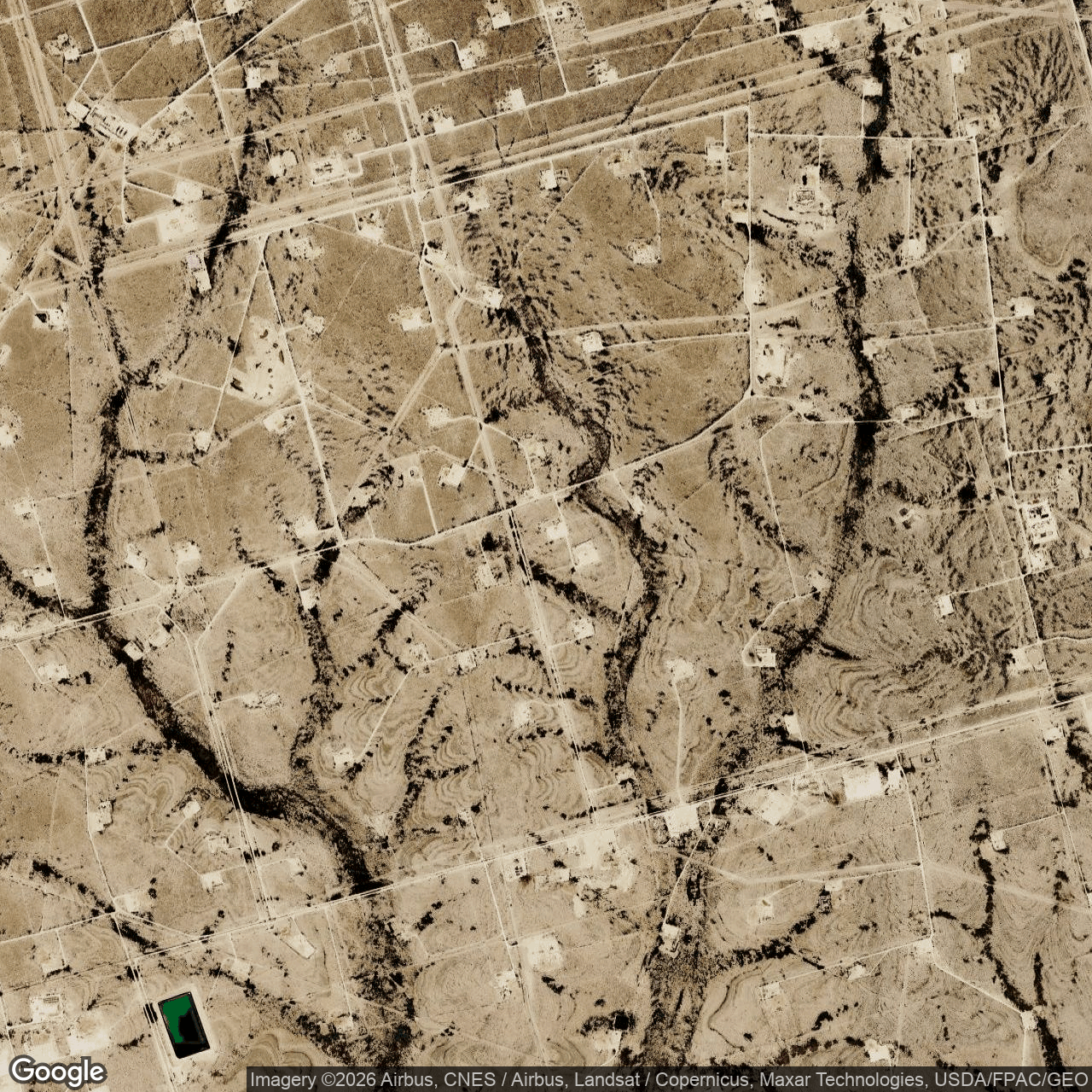
Visual view of hut-8-king-mountain, 2026-09-29 (Google Earth (wide view))
2026-09-29Google Earth (wide view) · 9.5 m/pixel
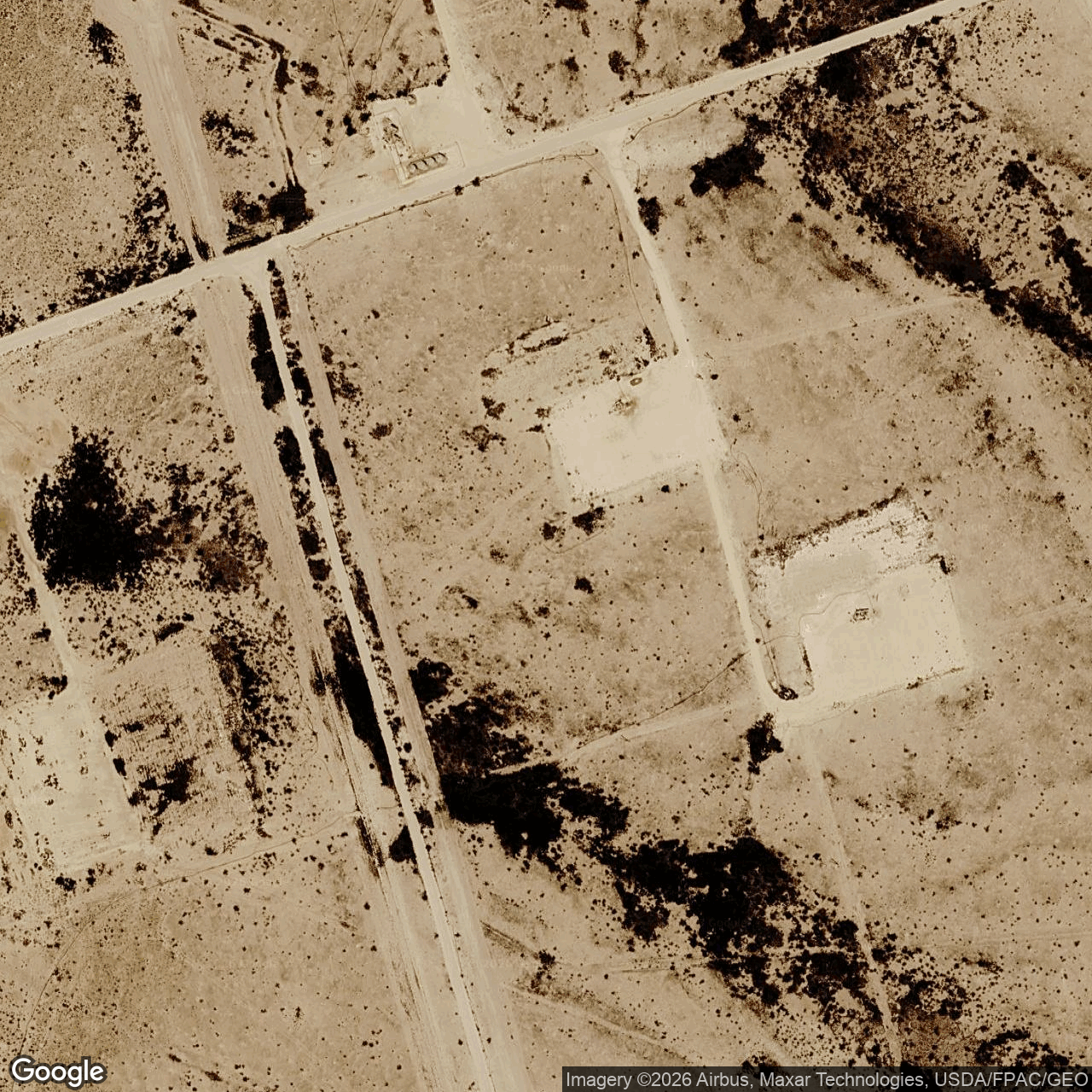
Visual view of hut-8-king-mountain, 2026-09-29 (Google Earth (close view))
2026-09-29Google Earth (close view) · 0.3 m/pixel
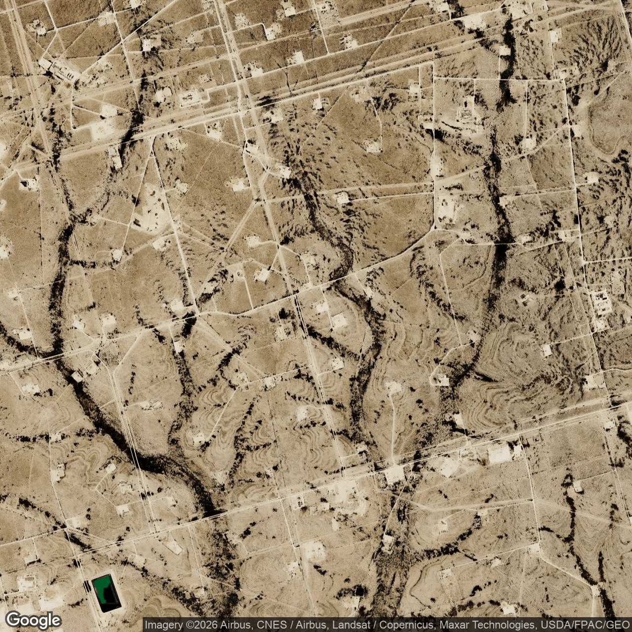
Visual view of hut-8-king-mountain, 2026-09-06 (Google Earth (wide view))
2026-09-06Google Earth (wide view) · 9.5 m/pixel
Visual view of hut-8-king-mountain, 2026-09-06 (Google Earth (close view))
2026-09-06Google Earth (close view) · 0.3 m/pixel
How we located this site
5/100 (weak): locality location 5
  1. Initial geocode 2026-09-05
    Upton County, TX → town/county centre, 4 km box -- not the site
  2. Starting point (the project's stated locality) 2026-10-19
    near McCamey, TX (King Mountain Wind Farm) → 31.20900, -102.24149 (locality)
  3. No site-level evidence yet 2026-10-19
    no address, road, landmark or coordinates tie this project to a specific parcel yet -- the town is shown, NOT the site
  4. OpenStreetMap features nearby 2026-10-19
    0 named match(es)

Satellite imagery on this page is drawn from the Google Earth satellite basemap. Each image is dated, labelled by source and pixel resolution, and downloadable at its native size; cloudy dates are kept and marked rather than hidden. New scenes are pulled daily as each provider publishes them.