North Bay
Project of Hut 8
Where it stands
Hut 8's North Bay Bitcoin mining site was shut down in 2023 during a power-supply dispute with Validus. In February 2024 the Far North JV (80.1% Hut 8) acquired Validus assets, including a 40 MW facility and Bitcoin mine in North Bay. Hut 8's February 2026 10-K lists North Bay as a 35 MW CCGT power plant used for power generation. The passages do not say whether Bitcoin mining has restarted at the site. The May 2026 court filing calling the site 'idle' quotes a 2023-era internal document, so it does not describe the current status.
35 MW in service
| Phase | MW | Status | Date | Source |
|---|---|---|---|---|
| North Bay CCGT power plant (Far North JV) | 35 | operational | North Bay (6) 80.1% North Bay, ON CCGT (3) power plant Power generation 35 MW 2026-02-24 View cached copy (2026-08-31)Live source ↗ |
Assessed November 1, 2026 from the newest filings, releases and reporting that name this project (newest relied on: February 24, 2026).
Claims about this project
Site intelligence
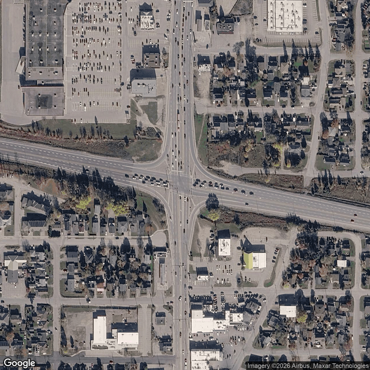
How we located this site
- Starting point (the project's stated locality) 2026-11-11
North Bay → 46.32930, -79.46612 (locality) - No site-level evidence yet 2026-11-11
no address, road, landmark or coordinates tie this project to a specific parcel yet -- the town is shown, NOT the site - OpenStreetMap features nearby 2026-11-11
0 named match(es)
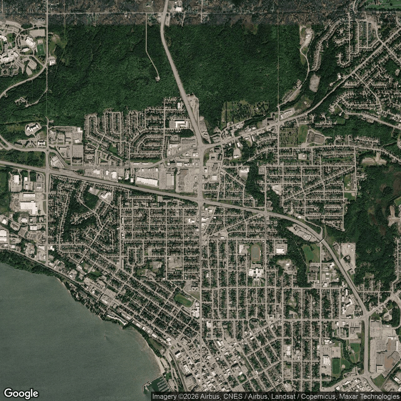
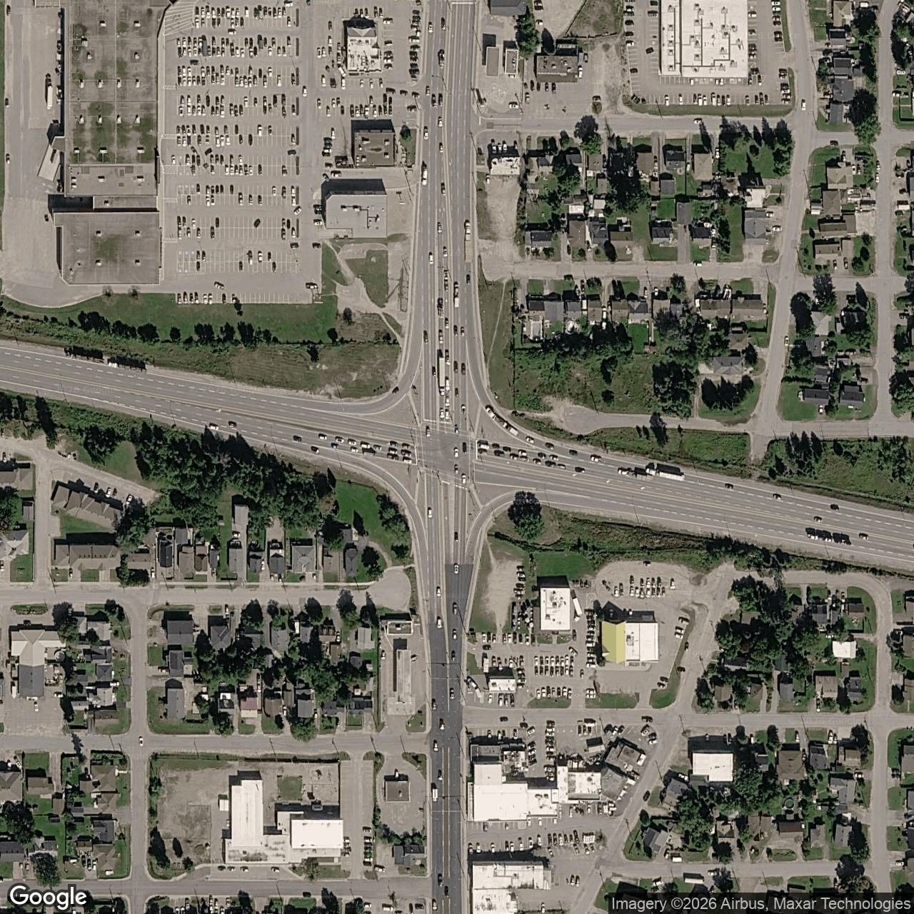
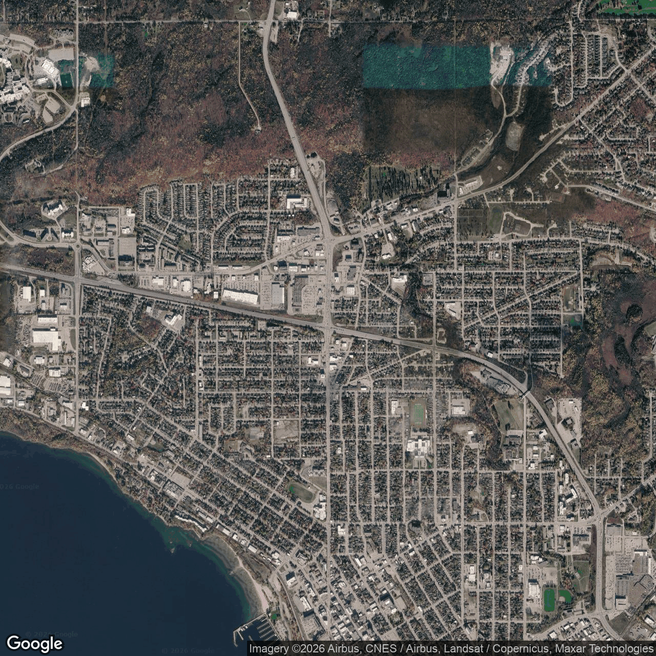
Satellite imagery on this page is drawn from the Google Earth satellite basemap. Each image is dated, labelled by source and pixel resolution, and downloadable at its native size; cloudy dates are kept and marked rather than hidden. New scenes are pulled daily as each provider publishes them.