
Cheyenne
Project of CleanSpark
Where it stands
CleanSpark agreed in May 2024 to buy real property in Cheyenne, Wyoming from MineOne Wyoming Data Center LLC. Its December 2024 10-K said it was developing data centers there. Its November 2025 10-K says it owns two fully constructed parcels in Cheyenne that operate as immersion bitcoin mining facilities. No MW figures appear in any passage. The 2024 court filings concern the seller MineOne's dispute with BCB Cheyenne over the North Range and Campstool sites near Cheyenne; the passages do not explicitly link those sites to CleanSpark's parcels, so they are not used for status.
| Phase | MW | Status | Date | Source |
|---|---|---|---|---|
| Two Cheyenne parcels (acquired from MineOne) | operational | 2025-11-24 | two fully constructed parcels of land in Cheyenne, Wyoming, that operate as immersion bitcoin mining facilities. 2025-11-24 View cached copy (2026-08-31)Live source ↗ |
Assessed November 1, 2026 from the newest filings, releases and reporting that name this project (newest relied on: November 24, 2025).
Capacity
What has actually been delivered, against what has been promised. Each figure links to the statement it came from.
| Stage | Capacity | As of | Source |
|---|---|---|---|
| Energized power flowing today | -- | ||
| Contracted a customer is on the hook | -- | ||
| Under construction | -- | ||
| Permitted | -- | ||
| Interconnect approved utility has agreed to deliver | -- | ||
| Interconnect requested in a queue, nothing approved | -- | ||
| Announced a press-release figure | 30 MW | 2024-07-31 | Cheyenne site 30 MW power capacity |
Claims about this project
Site intelligence
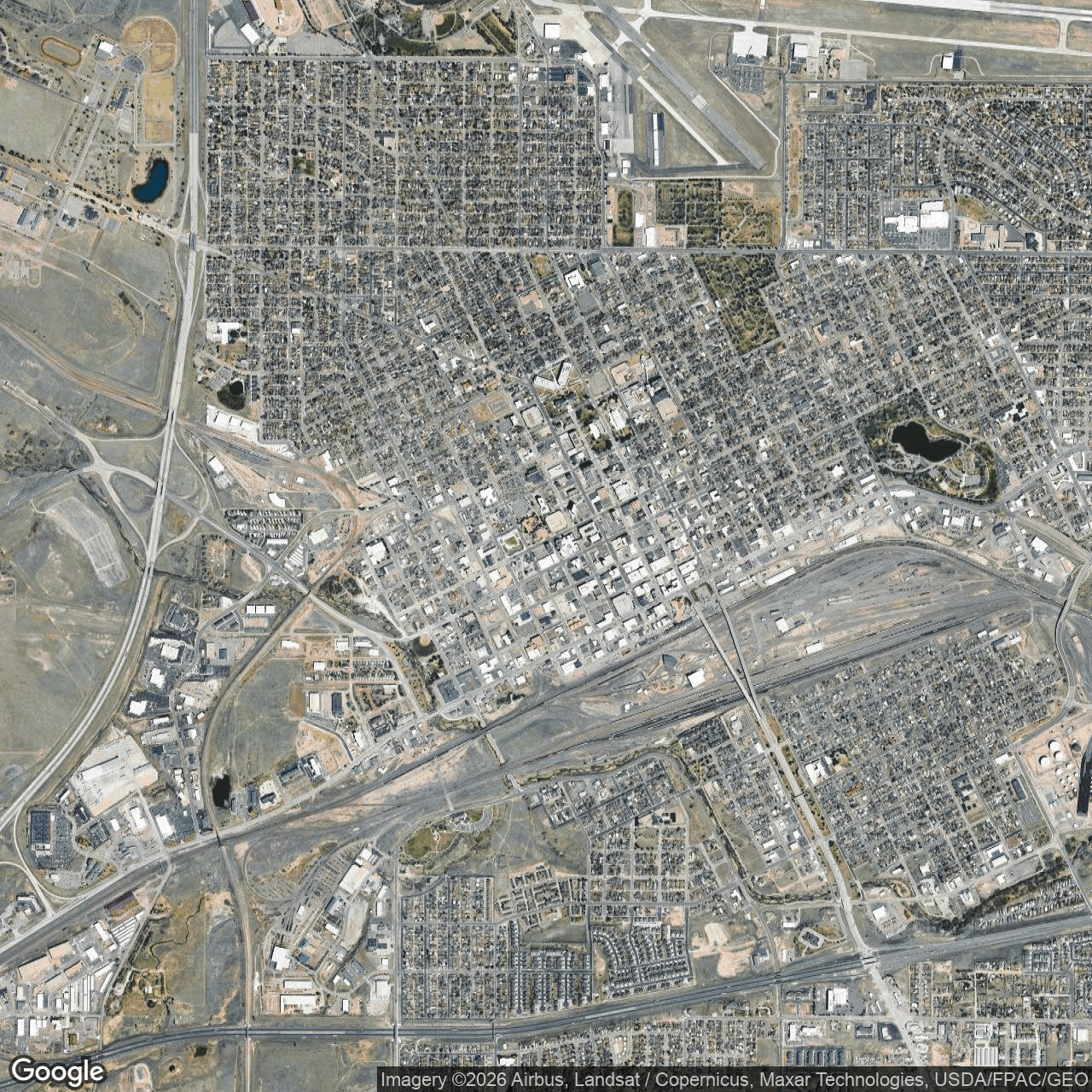
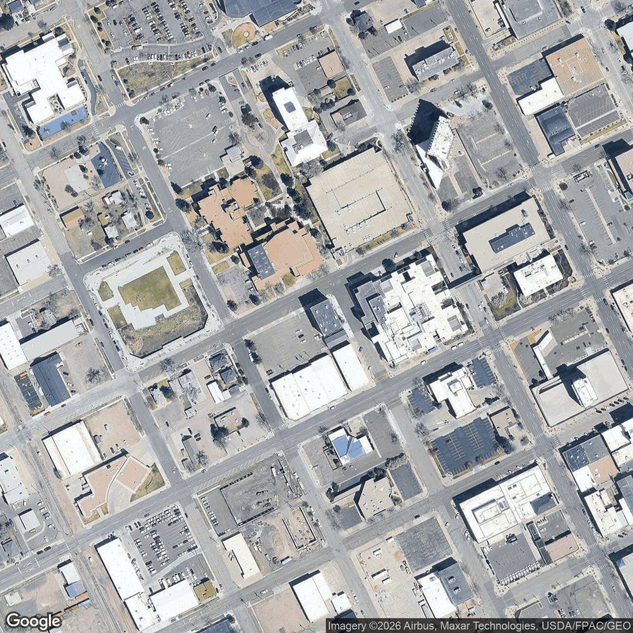
How we located this site
- Starting point (the project's stated locality) 2026-11-01
Cheyenne, Wyoming → 41.13474, -104.82119 (locality) - No site-level evidence yet 2026-11-01
no address, road, landmark or coordinates tie this project to a specific parcel yet -- the town is shown, NOT the site - OpenStreetMap features nearby 2026-11-01
0 named match(es)
Satellite imagery on this page is drawn from the Google Earth satellite basemap. Each image is dated, labelled by source and pixel resolution, and downloadable at its native size; cloudy dates are kept and marked rather than hidden. New scenes are pulled daily as each provider publishes them.