
Rotterdam (VOLT)
Project of Nebius
Capacity
What has actually been delivered, against what has been promised. Each figure links to the statement it came from.
| Stage | Capacity | As of | Source |
|---|---|---|---|
| Energized power flowing today | -- | ||
| Contracted a customer is on the hook | -- | ||
| Under construction | -- | ||
| Permitted | -- | ||
| Interconnect approved utility has agreed to deliver | -- | ||
| Interconnect requested in a queue, nothing approved | -- | ||
| Announced a press-release figure | 600 MW | 2026-10-16 | Rotterdam data center 600 MW |
Who has claimed this site
Capacity commitments in the order they were announced. A commitment that ended shows why.
2026-10-12
VOLT - developer source
Claims about this project
2026-10-12 - stated
2026-10-16 - stated
Rotterdam data center 600 MW 600.0 MW.
Site intelligence
Analytical estimate. Each site below is located from public records (filings, releases, news, OpenStreetMap) and checked against free satellite imagery; "How we located this site" lists every step and the score it earned. The conclusion is computed from night-time lights, surface heat and year-over-year change, with the dates it rests on. These are hypotheses under active tracking, not legal parcels or an official endorsement.
Rotterdam, Netherlands
Weak South Holland
51.9244, 4.4777
Approximate address Hofplein 2151, 3011 AX Rotterdam, Netherlands Reverse-geocoded from the candidate centroid; not a permit-confirmed parcel address.
Conclusion so far We have not located the site yet. · confidence 30%
Undetermined: we have not yet located the actual site, only the town or county it is in, so imagery cannot say whether anything is running.
What would change this: A published address, parcel, coordinates or permit for the site itself.
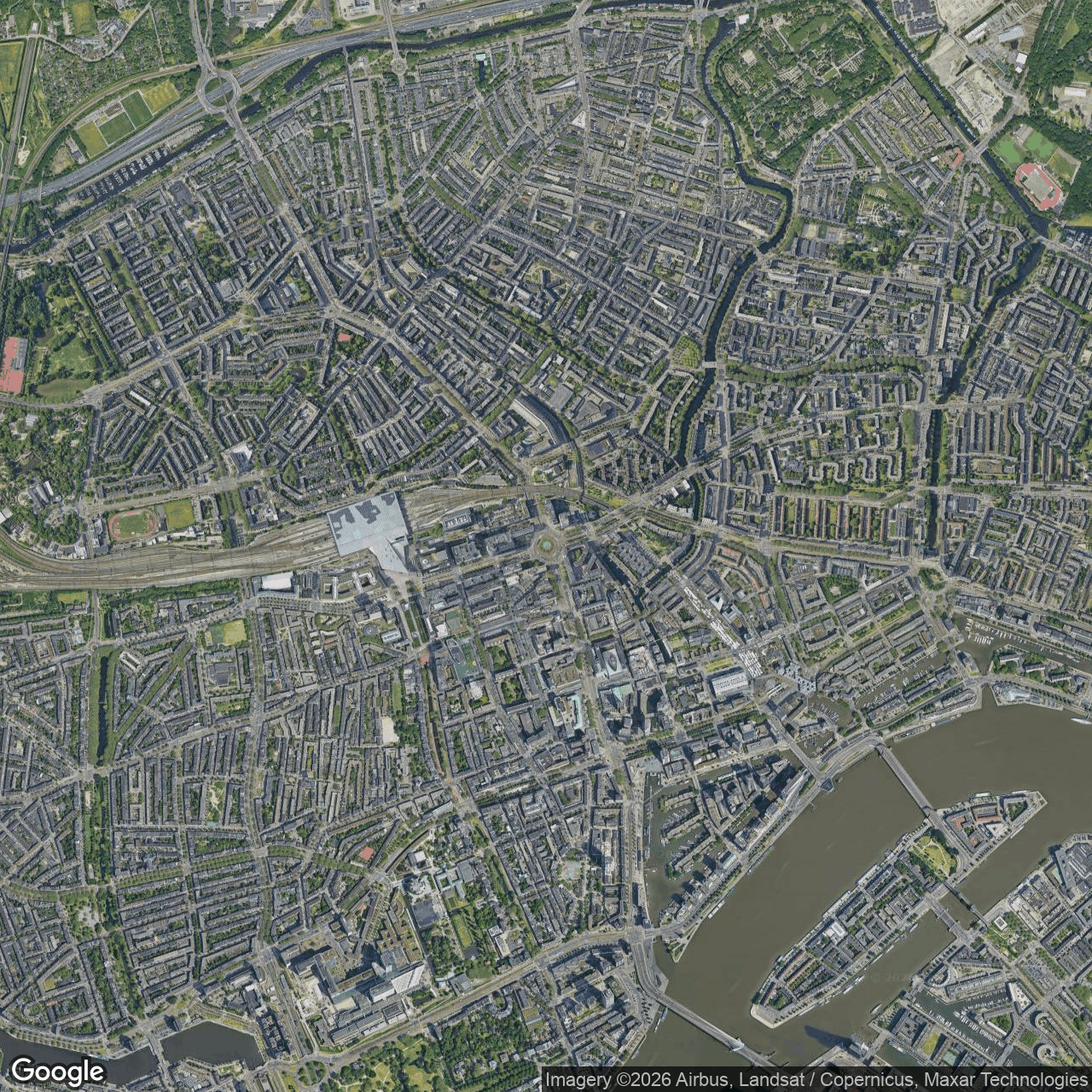
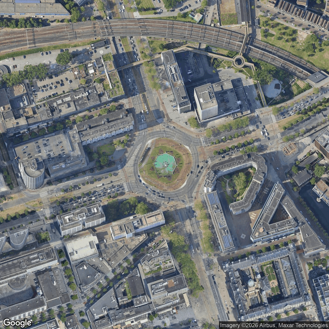
Latest clear imagery: Google 2026-10-17
Newest clear images2 clear image date(s)
How we located this site
5/100 (weak): locality location 5
- Starting point (the project's stated locality) 2026-10-17
Rotterdam, Netherlands → 51.92442, 4.47773 (locality) - No site-level evidence yet 2026-10-17
no address, road, landmark or coordinates tie this project to a specific parcel yet -- the town is shown, NOT the site - OpenStreetMap features nearby 2026-10-17
0 named match(es)
Satellite imagery on this page is drawn from the Google Earth satellite basemap. Each image is dated, labelled by source and pixel resolution, and downloadable at its native size; cloudy dates are kept and marked rather than hidden. New scenes are pulled daily as each provider publishes them.