
Independence
Project of Nebius
Where it stands
Nebius began construction (broke ground) on an AI data center campus in Independence, Missouri in May 2026, described as its first gigawatt-scale digital infrastructure project in the U.S. No passage reports any capacity energized or in service, and no specific MW figures are given for this site (the 65 MW figure in P32 refers to U.K. sites).
Assessed October 18, 2026 from the newest filings, releases and reporting that name this project (newest relied on: September 30, 2026).
Capacity
What has actually been delivered, against what has been promised. Each figure links to the statement it came from.
| Stage | Capacity | As of | Source |
|---|---|---|---|
| Energized power flowing today | -- | ||
| Contracted a customer is on the hook | -- | ||
| Under construction | 1,000 MW | 2026-09-30 | Independence, Missouri groundbreaking |
| Permitted | -- | ||
| Interconnect approved utility has agreed to deliver | -- | ||
| Interconnect requested in a queue, nothing approved | -- | ||
| Announced a press-release figure | 1,200 MW | 2026-10-26 | Independence, Missouri data center 1.2 GW |
Claims about this project
Site intelligence
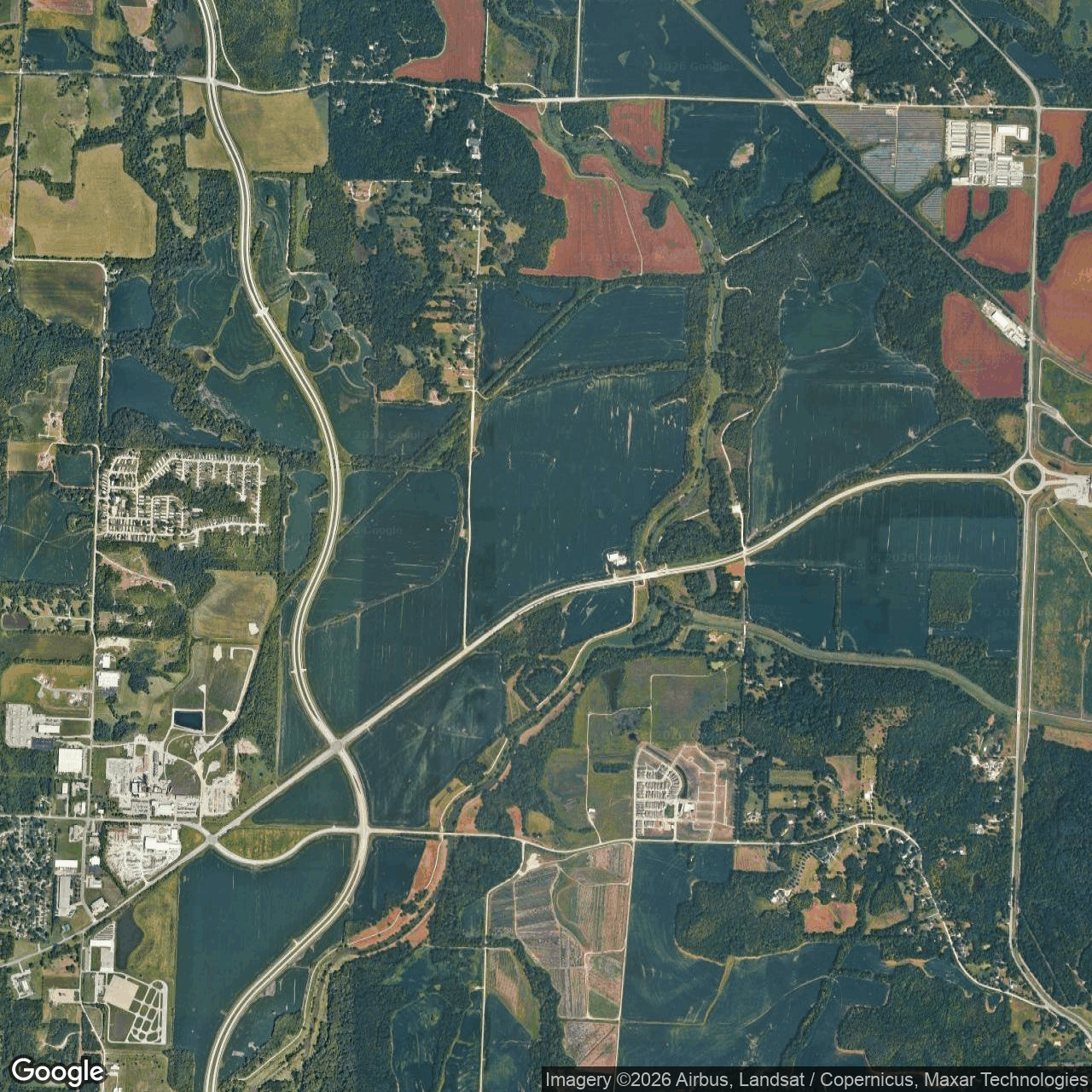
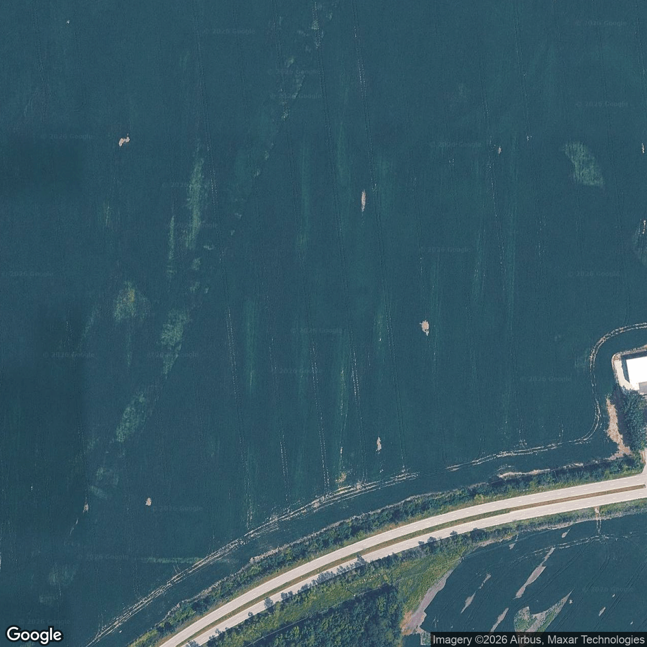

How we located this site
- Starting point (the project's stated locality) 2026-10-28
Independence, Missouri → 39.09112, -94.41551 (locality) - Located from a published address 2026-10-28
Nebius AI Data Center → 39.10124, -94.30957 (footprint), 9.2 km from seed - OpenStreetMap features nearby 2026-10-28
1 named match(es)
- 2025-10-04 vs 2025-09-01: new roof or pavement visible
- 2025-09-01 vs 2025-08-16: clearing or grading visible
- 2025-07-16 vs 2025-06-21: vegetation recovery visible
- 2025-10-12 vs 2025-09-30: structural change (radar signal shift)
- 2025-09-22 vs 2025-09-12: clearing or grading visible
Satellite imagery on this page is drawn from the Google Earth satellite basemap, USDA NAIP aerial photography (~1 m/pixel), ESA Sentinel-2 multispectral (10 m, with per-date cloud masks), NASA / USGS Landsat 8/9 (30 m, plus surface temperature), ESA Sentinel-1 radar (all-weather, night), NASA ECOSTRESS thermal (~70 m), and NASA Black Marble night lights (500 m, daily). Each image is dated, labelled by source and pixel resolution, and downloadable at its native size; cloudy dates are kept and marked rather than hidden. New scenes are pulled daily as each provider publishes them.