
Chief Facility
Project of Cipher Mining
Where it stands
The Chief Facility near Andrews, Texas was a WindHQ joint venture in which Cipher held 49% through Chief Mountain LLC. It was completed at 10 MW in October 2022 and expanded to 40 MW in 2024. On February 19, 2026, Cipher sold its 49% interests in the WindHQ JV sites, including Chief, to Canaan U.S. Inc.; the 40 MW figure is the facility's last reported size, not a current Cipher-operated capacity.
40 MW in service
| Phase | MW | Status | Date | Source |
|---|---|---|---|---|
| Initial build | 10 | operational | 2022-10-01 | The Chief Facility is a 10 MW data center that is connected to the local electrical grid. It was completed in October 2022 2023-03-13 View cached copy (2026-09-13)Live source ↗ |
| 2024 expansion | 30 | operational | 2024-12-31 | The Chief Facility was expanded from 10 MW to 40 MW in 2024. It is capable of hashing at a rate of up to approximately 1.6 EH/s. 2025-02-24 View cached copy (2026-08-31)Live source ↗ |
Assessed October 18, 2026 from the newest filings, releases and reporting that name this project (newest relied on: February 23, 2026).
Capacity
What has actually been delivered, against what has been promised. Each figure links to the statement it came from.
| Stage | Capacity | As of | Source |
|---|---|---|---|
| Energized power flowing today | 40 MW | 2025-02-24 | Chief Facility capacity |
| Contracted a customer is on the hook | -- | ||
| Under construction | -- | ||
| Permitted | -- | ||
| Interconnect approved utility has agreed to deliver | -- | ||
| Interconnect requested in a queue, nothing approved | -- | ||
| Announced a press-release figure | 135 MW | 2023-03-13 | Chief expansion potential |
Who has claimed this site
Capacity commitments in the order they were announced. A commitment that ended shows why.
Claims about this project
Site intelligence
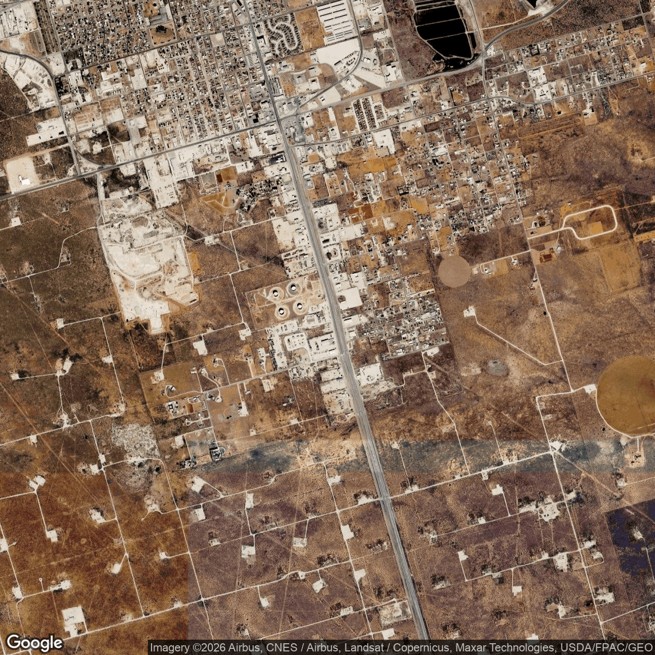
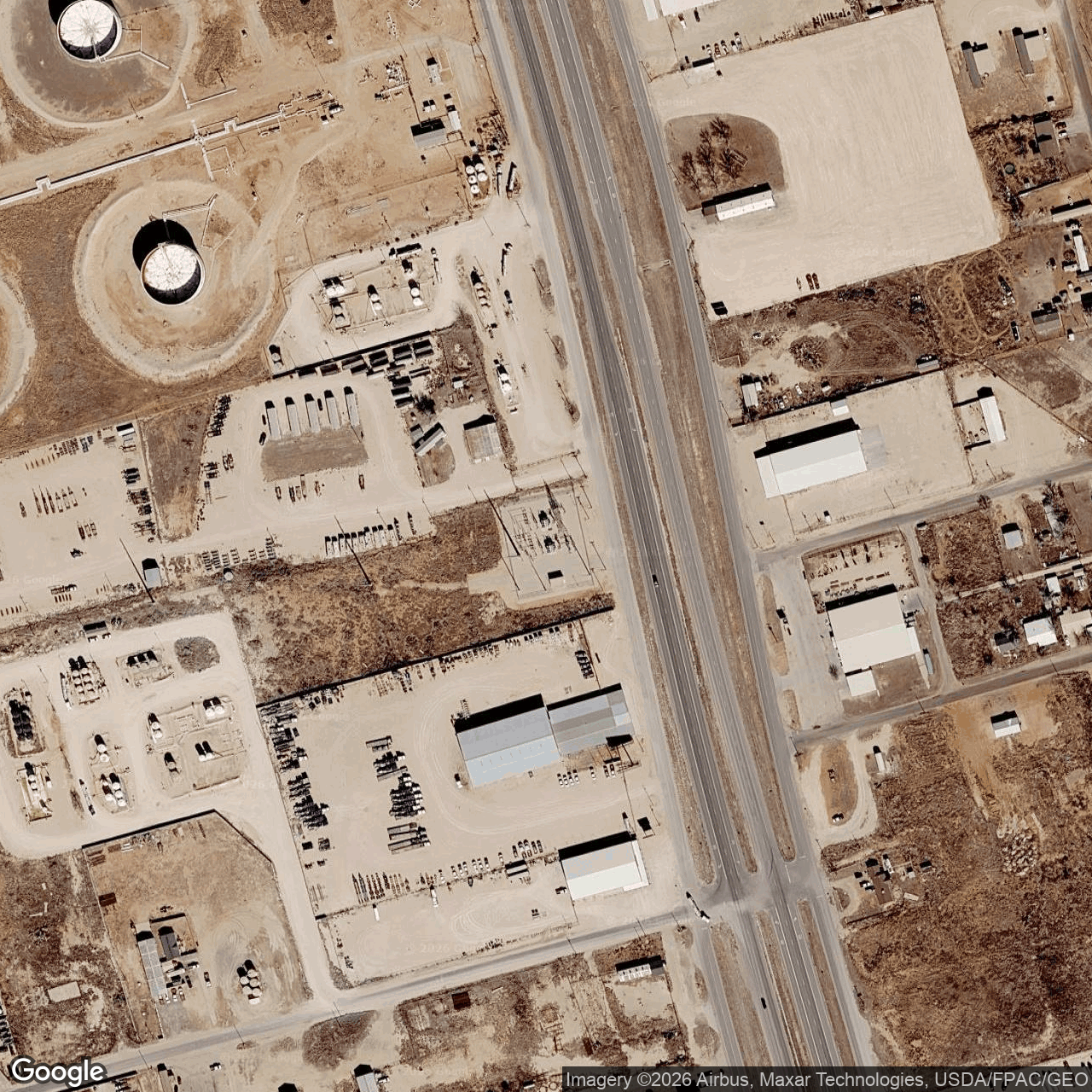
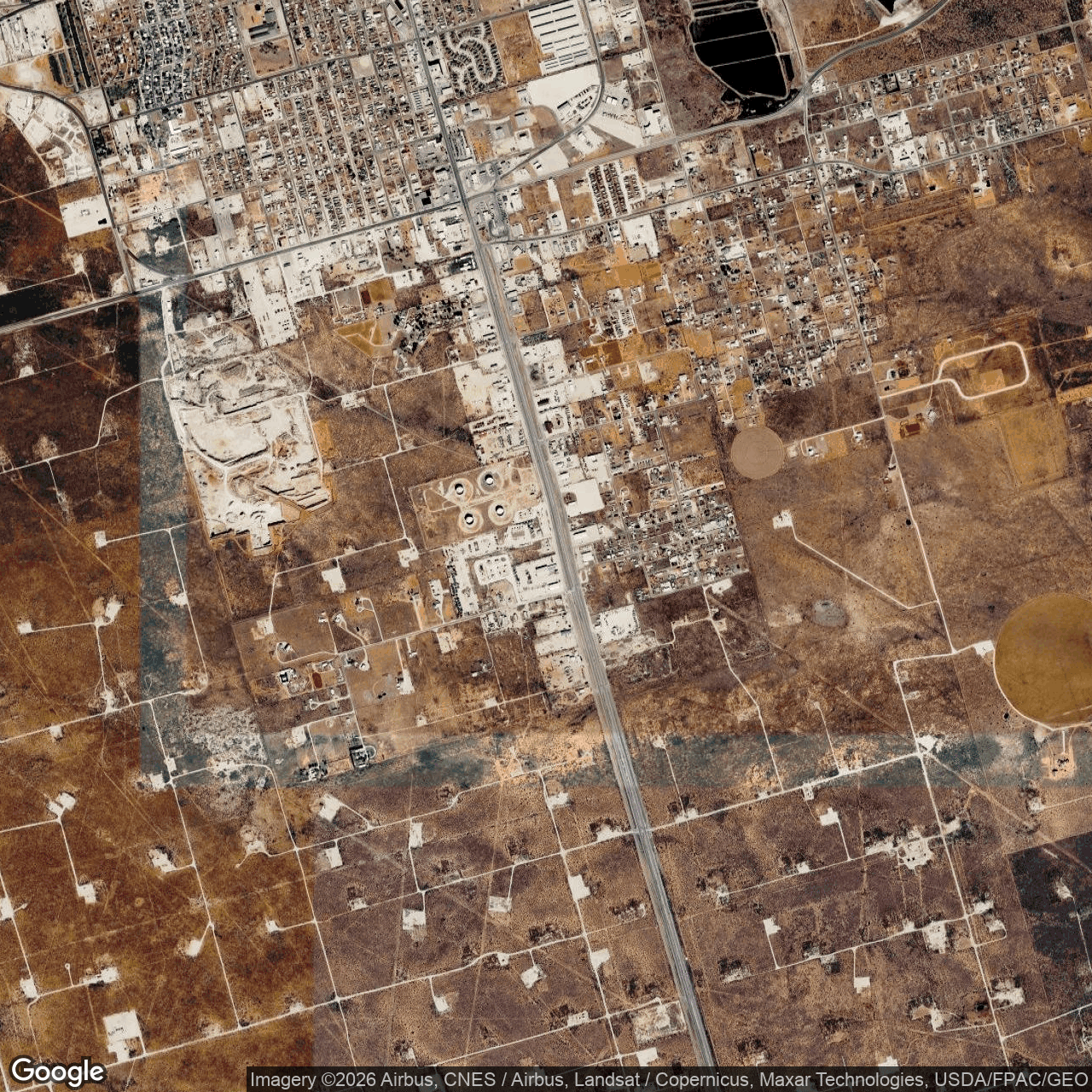
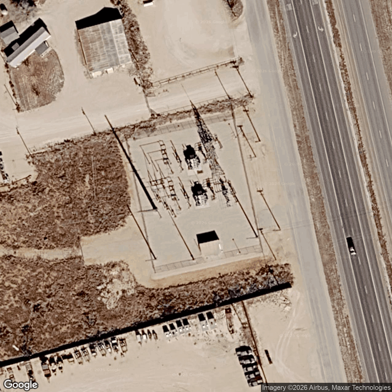
How we located this site
- Initial geocode 2026-09-05
Andrews County County, TX → town/county centre, 4 km box -- not the site - Nearest substation (earlier method) 2026-09-05
re-centred on the nearest high-voltage substation (superseded method) - Starting point (the project's stated locality) 2026-10-19
near Andrews, Texas → 32.31872, -102.54572 (locality) - Rejected facts that point elsewhere 2026-10-19
1 fact(s) rejected
16192 Coastal Highway, Lewes, DE 19958 (2563.9 km away) - No site-level evidence yet 2026-10-19
no address, road, landmark or coordinates tie this project to a specific parcel yet -- the town is shown, NOT the site - OpenStreetMap features nearby 2026-10-19
0 named match(es)
Satellite imagery on this page is drawn from the Google Earth satellite basemap. Each image is dated, labelled by source and pixel resolution, and downloadable at its native size; cloudy dates are kept and marked rather than hidden. New scenes are pulled daily as each provider publishes them.